GEOTECHNICAL ENGINEERING
BILLINGS
HomeInvestigationExploratory test pit

Exploratory Test Pits in Billings — Direct Soil Observation for Site Characterization

Evidence-based design. Reliable delivery.

LEARN MORE

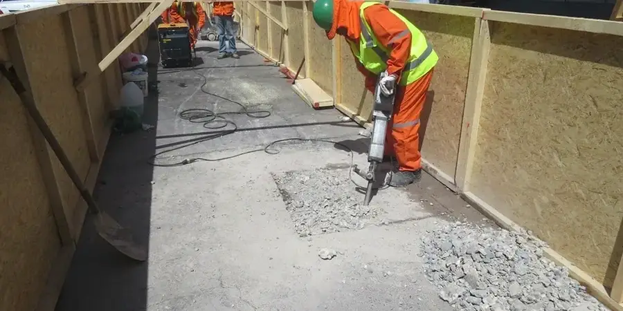
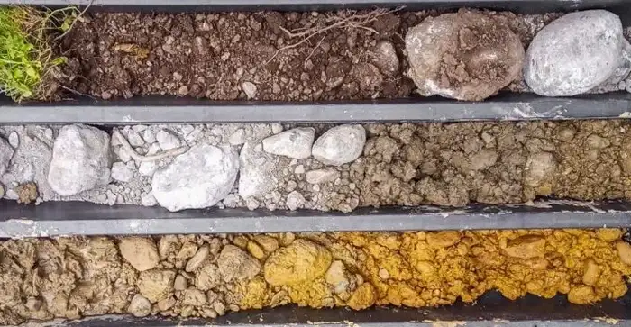
A commercial build-out off King Avenue West hit a buried lens of fat clay at four feet. No driller had seen it coming. The general contractor called us to open three pits the next morning. Our crew exposed the sequence from topsoil to weathered shale in less than a day. That is the core advantage of an exploratory test pit in Billings — direct visual access. You see the strata. You touch the material. You photograph the contact zones. When the Yellowstone River's historic channels leave behind erratic alluvium, a grain-size analysis from pit samples confirms whether the fines content matches the plasticity you observe in the field. We execute pits to eight feet routinely, and to twelve feet where site logistics allow. No drilling fluid. No disturbed cuttings. Just a clean vertical face for logging, sampling, and immediate classification per ASTM D2487. For sites on the Rimrocks where sandstone benches are suspected within three feet of grade, a test pit often replaces a boring program entirely, saving the owner thousands in mobilization cost.

A test pit replaces three days of drilling and lab turnaround with one day of direct observation, immediate logging, and same-day classification.

Our service areas

Our approach and scope

We deploy a 12-ton excavator with a 24-inch smooth bucket for our Billings pit operations. A smooth bucket is mandatory — it shaves a clean face, letting our field geologist log true stratum thickness without smear. Each pit wall is trimmed vertical and scraped with a trowel before the log begins. When we encounter the gravel-cobble mix common in the Alkali Creek fan deposits, we bring in a plate load test on the prepared pit floor to measure modulus of subgrade reaction directly, without extrapolating from SPT data. The process is methodical: locate buried utilities with private locates, strip topsoil, excavate in six-inch lifts, photograph each lift, collect bulk samples by horizon, and complete the pit log on-site. We bag samples for moisture content and Atterberg limits the same day. Before backfill, we take a final depth measurement and a GPS-tagged photo. The pit gets compacted in lifts matching surrounding density. Every step follows our in-house protocol aligned with IBC Chapter 18 soil classification requirements.
Exploratory Test Pits in Billings — Direct Soil Observation for Site Characterization
Technical reference — Billings

Local geotechnical context

Soil conditions change abruptly across Billings. Downtown near the Yellowstone River presents ten to twenty feet of interbedded silt and sand with groundwater at shallow depth. A test pit here reveals the water table visually — you see seepage at the pit face, you measure it, you plan dewatering before footings go in. Up on the Rims, it is a different world. The Pierre Shale is near surface, often fractured and slickensided. A pit in the Heights might hit hardpan at two feet; a pit in Lockwood might stay in sandy loam to six feet. Ignoring these contrasts costs money. We have seen foundations designed on uniform soil assumptions that failed when the actual stratigraphy — exposed in a thirty-minute pit — showed a two-foot clay seam nobody anticipated. A test pit catches that seam before concrete is poured. When the pit walls show near-vertical cuts in cohesive soil, we document the stand-up time; when they ravel in granular material, we note that too. These observations feed directly into shoring design and deep excavation monitoring strategies for multistory projects.

Need a geotechnical assessment?

Reply within 24h.

Email: contact@geotechnicalengineering.biz

Relevant standards

IBC Chapter 18 — Soils and Foundations, ASCE 7-22 — Minimum Design Loads and Associated Criteria for Buildings, ASTM D2487 — Standard Practice for Classification of Soils for Engineering Purposes (Unified Soil Classification System), OSHA 29 CFR 1926 Subpart P — Excavation safety requirements

Technical data

ParameterTypical value
Maximum pit depth12 ft (standard excavator reach)
Bucket type24-inch smooth edge, toothless
Sampling methodBulk disturbed by horizon; Shelby tubes where feasible
Field classification standardASTM D2487 (USCS)
Typical pit dimensions6 ft length x 2.5 ft width
Backfill compactionLayered to match adjacent density, verified by sand cone
Utility clearancePrivate locates prior to excavation

Q&A

How much does an exploratory test pit cost in Billings?

Typical budget for a single exploratory test pit in the Billings area ranges between US$460 and US$850. The final figure depends on pit depth, access constraints, number of samples collected, and whether backfill compaction testing is required. We carry out a fixed-price quote after reviewing your site plan and desired investigation depth.

Do I need a permit to dig a test pit on my property?

For private property, no City of Billings permit is required for geotechnical exploration pits under twelve feet. However, we always call for private utility locates before mobilization. If the pit is within the public right-of-way or in a designated floodplain overlay, a right-of-way permit from Public Works may apply, and we coordinate that process as part of our scope.

How deep can you go with a test pit versus a boring?

Our standard excavator reaches twelve feet maximum. Beyond that, we recommend SPT drilling or CPT sounding for deeper investigation. The choice depends on what you need: a pit gives visual stratigraphy and bulk samples to twelve feet; a boring gives continuous SPT data to any depth. For most shallow foundation projects in Billings, twelve feet covers the zone of influence adequately.

Location and service area

We serve projects in Billings and surrounding areas.

View larger map