GEOTECHNICAL ENGINEERING
BILLINGS
HomeUnderground ExcavationsGeotechnical excavation monitoring

Geotechnical Excavation Monitoring in Billings, MT

Evidence-based design. Reliable delivery.

LEARN MORE

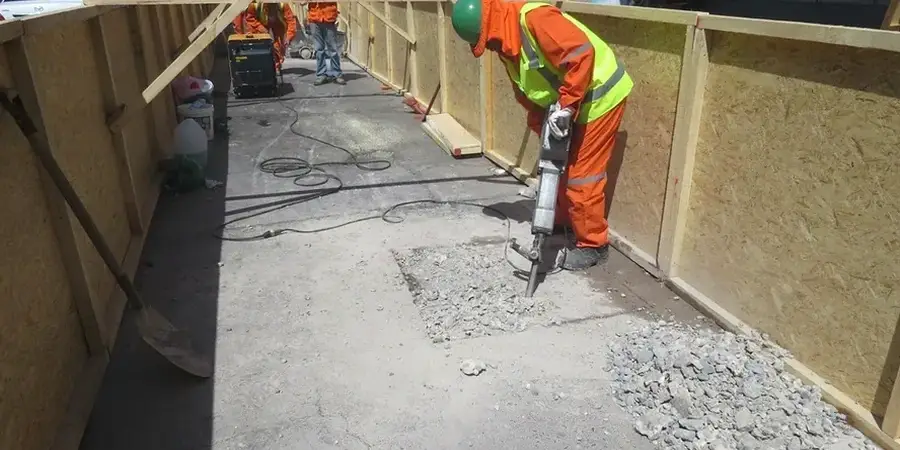
A six-story mixed-use project near North 27th Street hit sandstone at 18 feet. The contractor expected shale. The excavation plan changed overnight. We set up inclinometers and survey points before the next cut. That kind of surprise is normal in Billings. The geology shifts fast here. You get river terrace gravels near the Yellowstone. You get fractured sandstone on the Rims. And you get expansive clay in the Heights. Our team tracks wall deflection, vibration, and groundwater levels so the project keeps moving. A deep excavation analysis paired with real-time monitoring gives the superintendent hard data, not guesses. The Yellowstone River aquifer adds another variable. Dewatering changes pore pressure. We measure it. No two sites behave the same way here. That is why we stay on site until the shoring is complete and the readings are flat.

In Billings, the sandstone-to-colluvium contact on the Rims creates wedge failure risks that standard monitoring can miss.

Our service areas

Our approach and scope

The IBC requires excavation monitoring when adjacent structures are within a defined influence zone. In downtown Billings, that means nearly every project. Old masonry buildings line Minnesota Avenue. They have shallow foundations. Vibration and settlement can cause cracks fast. We follow ASTM D1586 for soil data correlation and ASTM D2487 for classification, but the real value comes from reading the trend lines daily. Our monitoring program covers lateral movement with inclinometers, surface settlement with optical survey points, and groundwater fluctuation with vibrating wire piezometers. We set threshold values based on the geotechnical report. Amber means call the engineer. Red means stop work. The Billings Rimrock formation adds another layer of complexity. The contact zone between the sandstone and overlying colluvium can create wedge failures. We have seen it. We watch it. Our automated systems send alerts when the movement curve starts to climb.
Geotechnical Excavation Monitoring in Billings, MT
Technical reference — Billings

Local geotechnical context

We have walked sites in the Heights where the clay was dry and cracked in August. Same site in March was a sticky mess. Seasonal moisture swings in Billings are extreme. Expansive clay heaves in winter and shrinks in summer. That movement can mask real excavation settlement. If you are not reading the data against weather records, you misinterpret the numbers. Another risk is the Yellowstone River alluvium near South Billings Boulevard. It is loose, saturated, and sensitive to vibration. A heavy compactor too close to the cut can trigger a slough. We set vibration monitors on the shoring and on the nearest building. We calibrate the alarm thresholds to the age and condition of the structure. A 1920s brick warehouse gets a tighter limit than a steel-frame building from the 1990s. The data tells the story. We just make sure someone is listening.

Need a geotechnical assessment?

Reply within 24h.

Email: contact@geotechnicalengineering.biz

Relevant standards

IBC 2021 Chapter 33, ASCE 7-22 Section 3.2, ASTM D1586 Penetration Test, ASTM D2487 Soil Classification, OSHA 29 CFR 1926 Subpart P

Technical data

ParameterTypical value
Inclinometer casing depthUp to 80 ft below excavation base
Survey point spacing15 to 30 ft along adjacent structures
Vibration monitoring threshold0.5 in/sec peak particle velocity per IBC
Piezometer reading frequencyAutomated hourly, manual daily verification
Deflection alert trigger0.5 inches lateral or 0.25 inches vertical
Typical monitoring durationSite-specific, typically excavation + 14 days post-backfill

Q&A

When does IBC require excavation monitoring in Billings?

IBC Chapter 33 triggers monitoring when the excavation extends below the level of an adjacent foundation and the foundation lies within the zone of influence. In downtown Billings, where older buildings sit on shallow footings right at the property line, this condition is met on nearly every deep excavation. The code also requires monitoring when vibrations could damage nearby structures. Our team documents the pre-construction condition and sets the monitoring plan before the first bucket goes in the ground.

What does a typical monitoring program cost for a Billings commercial project?

A standard program with inclinometers, survey points, and vibration monitoring for a single-phase commercial excavation generally falls between US$900 and US$2,840. The range depends on the number of monitoring points, the depth of the cut, and the duration of the work. A project near the Rims with fractured rock and multiple adjacent buildings will be at the higher end. We carry out a fixed-scope proposal once we review the excavation plan and the geotechnical report.

How do you handle the expansive clay in the Heights during excavation?

Expansive clay in the Billings Heights changes volume with moisture content. During monitoring, we distinguish between seasonal ground movement and actual excavation-induced settlement. We install deep benchmarks below the active zone so our survey readings subtract the natural heave and shrink. We also track rainfall and irrigation patterns near the site. If the data shows movement that correlates with a wet week, not with the cut depth, we flag it as environmental, not structural.

Can you monitor an excavation that is already underway?

Yes, we can mobilize quickly. We install inclinometer casing in the shoring wall and set survey points on adjacent buildings even after the cut has started. The baseline reading will be relative to the current condition, not the pre-excavation state. That still provides useful trend data for the remaining work. We also document existing cracks with photographs and crack gauges so any new movement is clearly identified from that point forward.

Location and service area

We serve projects in Billings and surrounding areas.

View larger map