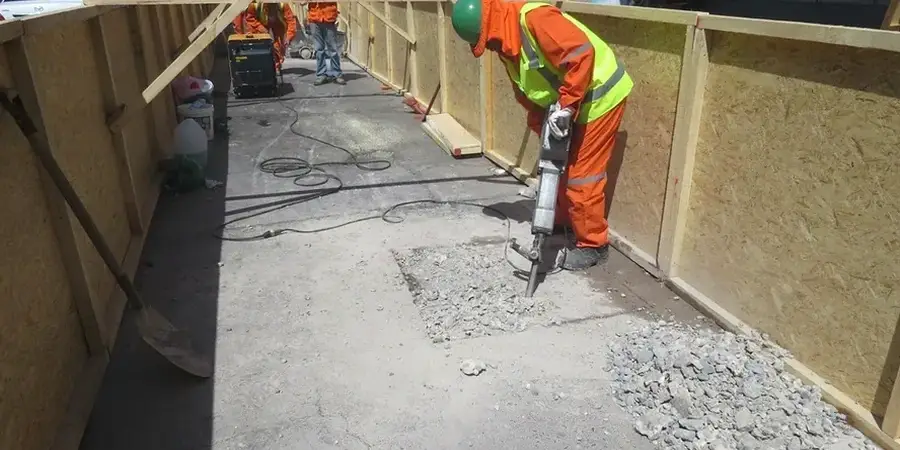
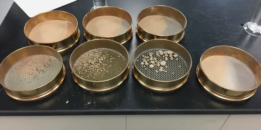
Billings sits at 3,123 feet, wedged between sandstone rimrocks and the Yellowstone River floodplain. That elevation shift matters. A site on the Rims deals with weathered sandstone residuum. A site down in the valley hits river terrace gravels mixed with fat clays. The 2022 Stillwater River flood reminded every engineer in town: grain size distribution controls everything. Permeability. Frost susceptibility. Compaction effort. We run the full ASTM D422 curve—sieve stack plus hydrometer—so your gradation data isn't a guess. Our lab processes samples from Lockwood to the West End, delivering USCS classifications that feed directly into your bearing capacity calcs and drainage design. For deeper profiling, we often pair this with SPT drilling to correlate gradation shifts with blow count changes at depth.
A missing hydrometer on a clay site in Billings can undersize the frost heave risk by a factor of three. The fines dictate the design.