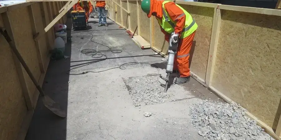
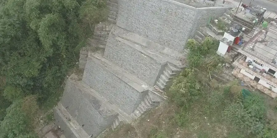
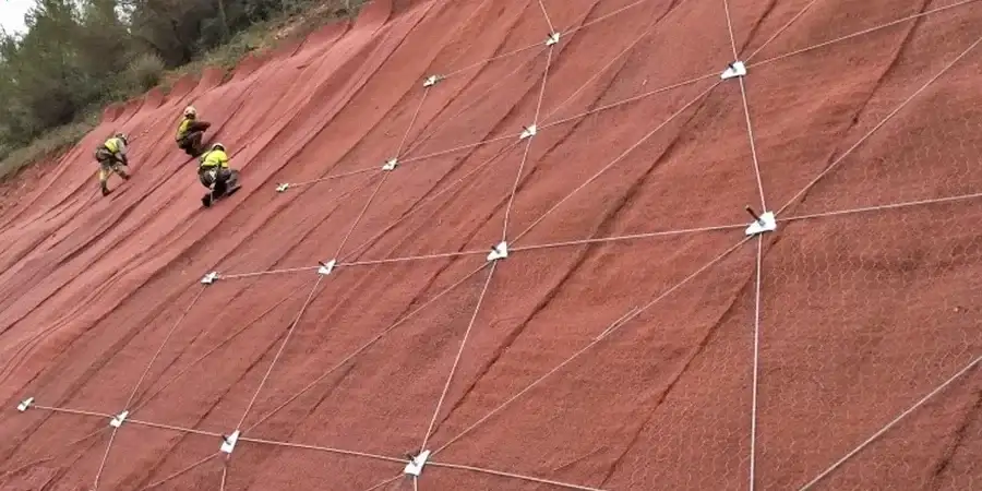
The Rimrocks define Billings—a stunning geological boundary of sandstone carved by the Yellowstone River. But that same escarpment, underlain by Cretaceous Eagle Formation sandstone and interbedded shale, presents a genuine slope stability challenge when you're siting a commercial building or residential subdivision near the edge. Billings sits in seismic design category B, and while peak ground acceleration is moderate, the combination of steep slopes, expansive clay seams, and spring snowmelt infiltration triggers shallow failures that catch unprepared developers off guard. Our geotechnical team runs limit equilibrium and finite element analyses tied to local stratigraphy, giving you a factor of safety that the city review board will accept without months of back-and-forth. For projects near the South Hills or along Highway 3 where cut slopes exceed 15 feet, we often combine the slope stability study with a seismic refraction survey to map bedrock depth without extensive drilling.
In the Rimrock area, a 2-foot clay seam you didn't sample can control failure on a 60-foot slope—we've seen it more times than we can count.