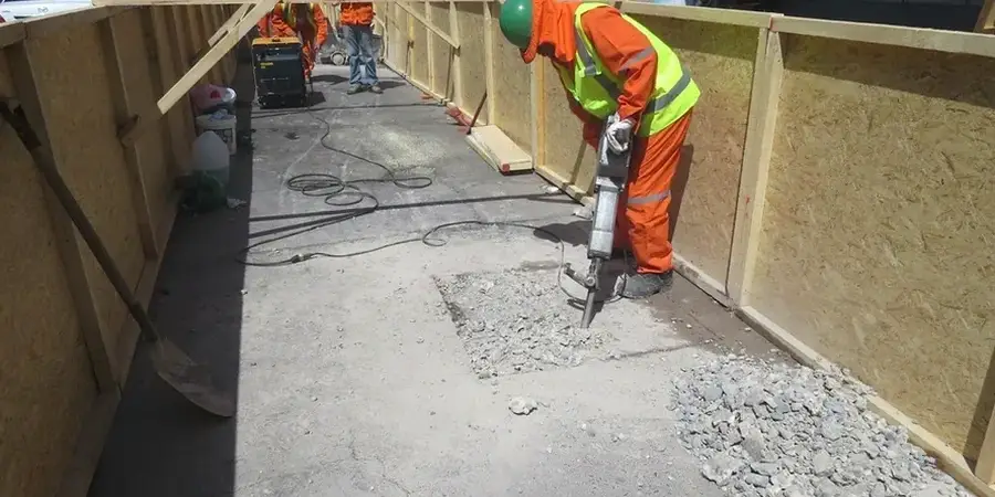
In Billings, ASCE 7 site classification isn't a formality. The city straddles the Yellowstone River, where Holocene alluvium sits directly above Eagle Sandstone. That contact can shift within a single lot. A blanket Site Class D assumption won't hold when half your footprint hits weathered bedrock at six feet and the other half runs thirty feet of interbedded silt and sand. We run seismic microzonation studies to map actual Vs30 profiles, not generic defaults. For sites near the river corridor or the Rimrocks escarpment, we typically combine downhole shear-wave data with MASW surface arrays to catch lateral velocity contrasts that borehole-only methods miss. The 1935 Lake Basin Fault, though considered inactive, left structural features that still influence shallow stiffness across the West End. Our lab operates under ISO 17025 for all geophysical and index testing that feeds the ground model.
Assuming Site Class D across a Billings lot is gambling. Twelve feet of travel can change your Vs30 by 200 m/s.